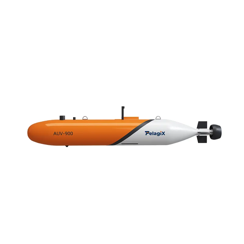
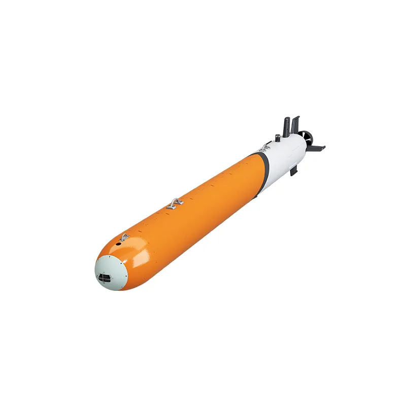
AUV-900 Autonomous Underwater Vehicle | Large Scale AUV
Product Information
Brand:
PALEGIX
Model number:
AUV-900


The AUV-900 is an internationally advanced large autonomous underwater vehicle (AUV) designed to support long-range, shore-to-shore full-domain operations. Featuring outstanding modularity and high intelligence, this underwater autonomous vehicle delivers superior maneuverability and control stability. It can be equipped with various high-end industrial survey payloads and supports multi-vehicle collaborative surveying. The system comes equipped with a dedicated Launch and Recovery System (LARS) to enable fully automated equipment deployment and recovery.
Commercial Applications
-
High-Resolution Seafloor Bathymetric Mapping
-
Deep-Sea Mineral Resource Exploration
-
Physical Oceanography Surveys
-
Offshore Ocean Engineering and Infrastructure Inspections
Key Product Advantages
-
Optimized Hull Design: Streamlined hydrodynamic shape paired with a wet-cabin frame structure ensures low noise, minimal drag, and exceptional hydrodynamic performance.
-
Robust Performance: Operating depth down to 6000 meters, maximum endurance range of 1500 km, and ultra-high-precision navigation and positioning.
-
Flexible Payload Expansion: Modular payload bay fully compatible with multiple high-end oceanographic inspection and scanning devices.
-
Safe and Highly Reliable: Comprehensive emergency protection systems enabling passive ocean drift and autonomous communication for up to 60 days.
Technical Specifications
| Feature / Parameter | Specifications (AUV-900) |
| Model | AUV-900 Autonomous Underwater Vehicle |
| Physical Dimensions | Outer Diameter: 900 mm × Length: 6 m |
| Weight | 2,000 kg (Standard Configuration); Payload Capacity: 250 kg |
| Operating Depth | 3,000 m / 4,500 m / 6,000 m |
| Speed Range | 1 – 6 knots |
| Propulsion System | Main tail propeller with Cruciform / X-rudder control; optional lateral and vertical auxiliary thrusters for vertical diving/surfacing and dynamic positioning (DP) |
| Endurance | ≥90 hours under standard configuration (at 3-knot cruising speed); expandable to 270 hours or a range of 1,500 km |
| Navigation System | Integrated INS + DVL + GNSS + USBL navigation suite with positioning accuracy of 0.2% of distance traveled; features SLAM and data-driven navigation capabilities |
| Communication System | UHF, Wi-Fi, 4G cellular, Iridium satellite communication, and acoustic communication |
| Control Software |
Proprietary software control system featuring an intuitive visual UI; supports secondary user development, post-mission data processing and analysis, and technical maintenance support; offers customizable multi-AUV collaborative networking and data-driven features |
| Support Equipment | Integrated Ground / Topsides Control Station |
Recommended products
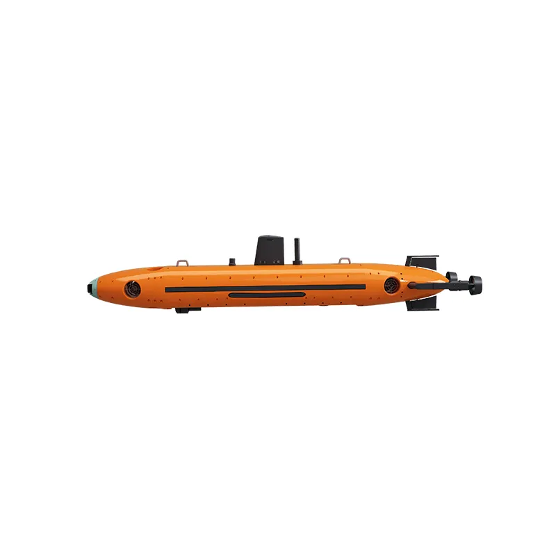
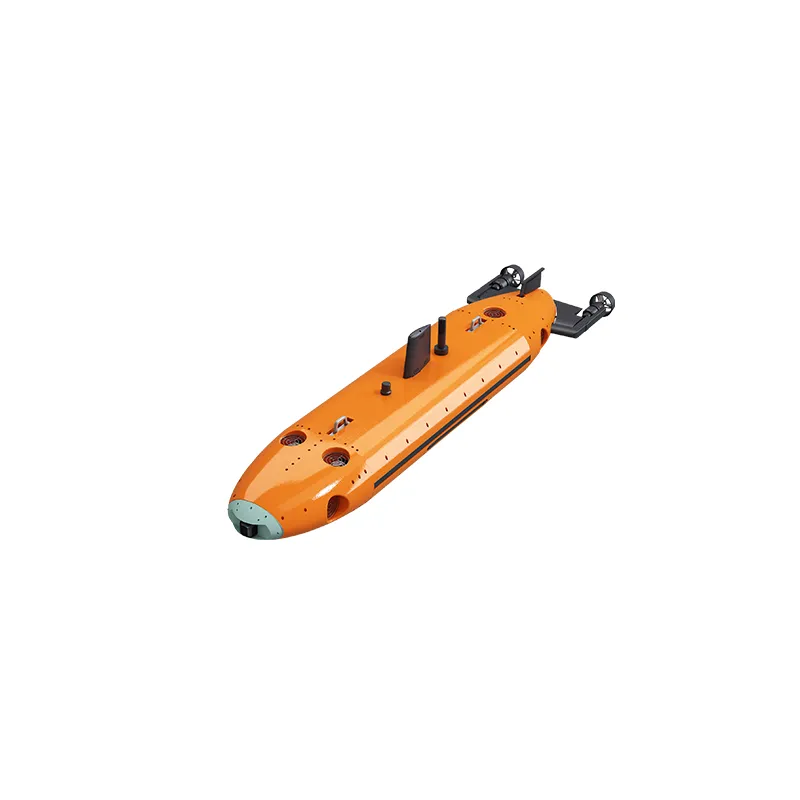
AUV-F760 Work-Class Autonomous Underwater Vehicle
The AUV-F760 is a self-developed work-class autonomous underwater vehicle designed for offshore wind farm operations, subsea pipeline inspection, and underwater infrastructure maintenance.
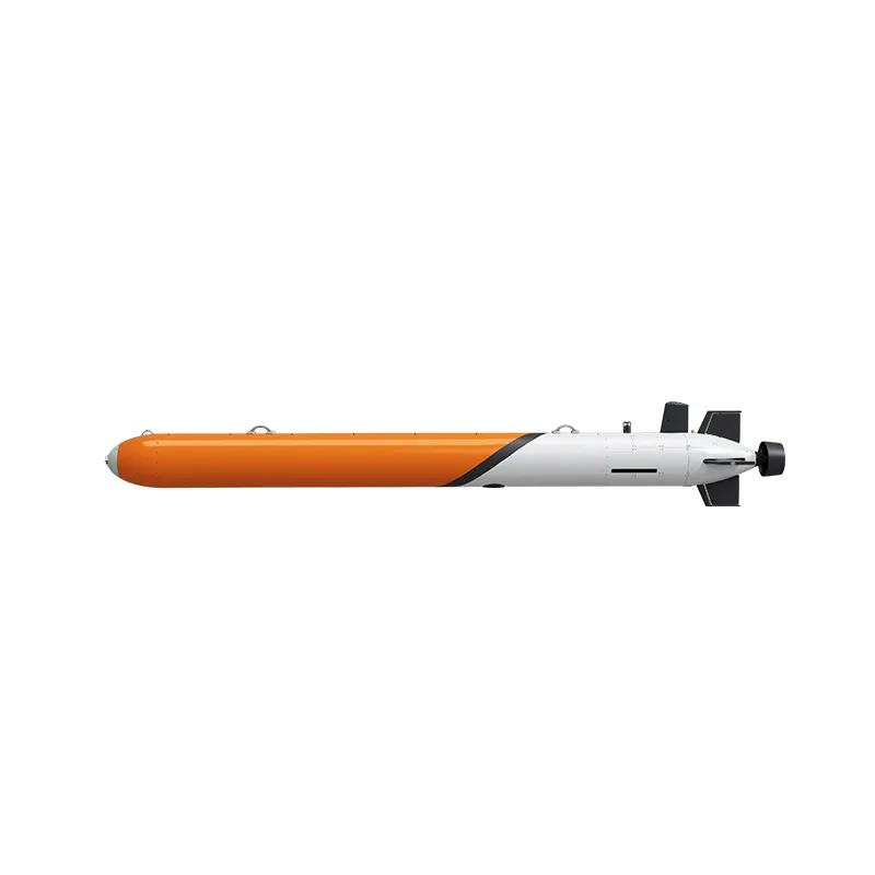
AUV-600 Intelligent Large AUV System for Deep-Sea Exploration
AUV-600 is a large autonomous underwater vehicle designed for deep-sea exploration, marine engineering surveys, and scientific research. Featuring 6000m depth capability, intelligent coordination, and modular payload integration, it provides advanced underwater autonomous vehicle solutions.
AUV-533 Large Autonomous Underwater Vehicle System
AUV-533 is a large autonomous underwater vehicle designed for deep-sea exploration, marine surveys, underwater inspection, and scientific research. With 6000m depth capability, 1000km endurance, and modular payload integration, it provides reliable underwater autonomous vehicle solutions.


