How Digital Twins Enhance Offshore Wind AUV/ROV Inspection Planning
News Details
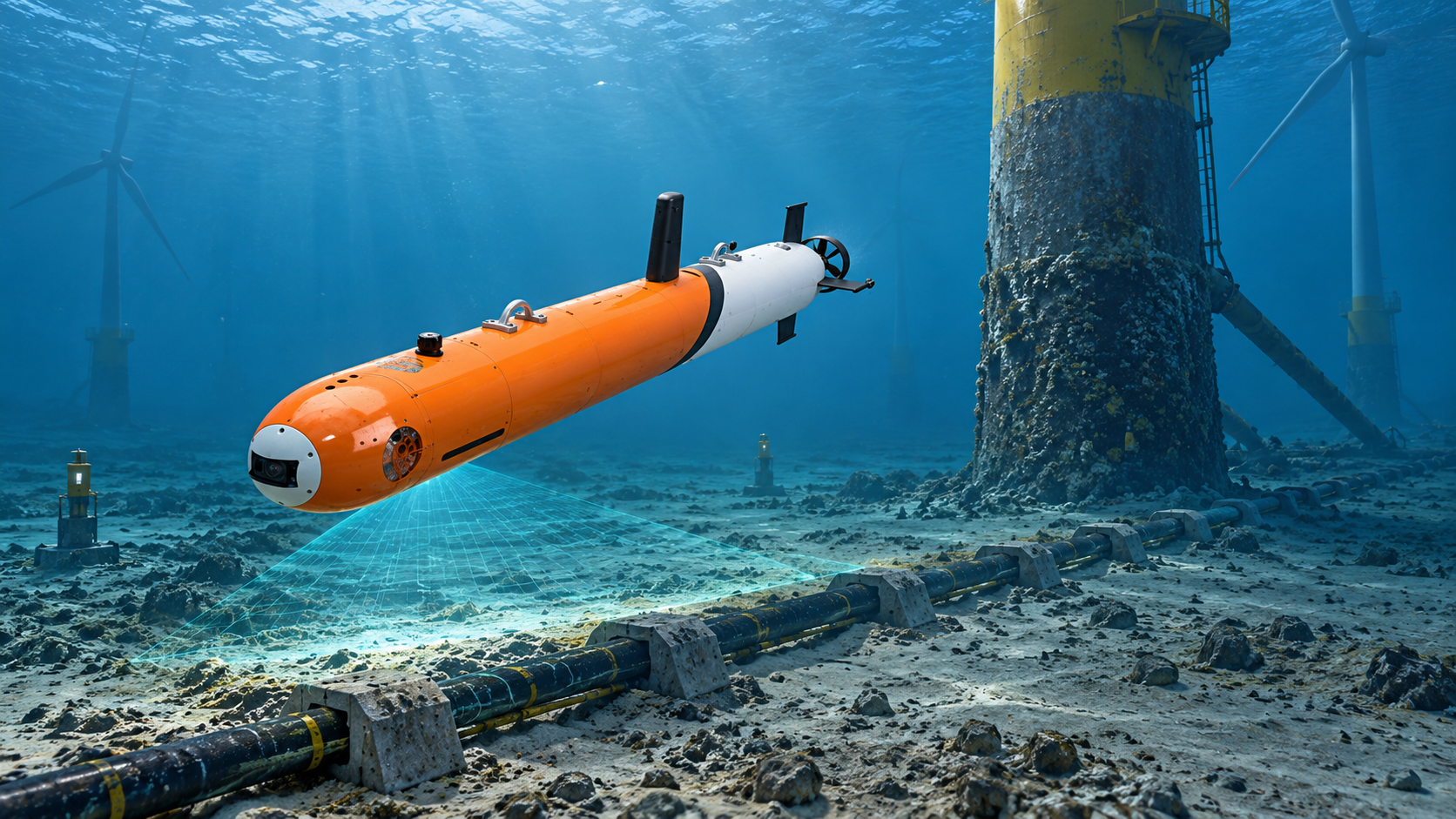
Offshore wind farms are expanding quickly. As a result, operators need safer and more efficient ways to inspect foundations, cables, scour protection, and other underwater assets. These sites are often large, deep, and difficult to reach. Weather conditions can also change fast. For this reason, every inspection mission must be planned carefully.
This is where digital twins can help. A digital twin is a virtual model of a real asset, vehicle, or work site. For offshore wind inspection, it can show the seabed, turbine foundations, export cables, array cables, AUV routes, ROV paths, sensor ranges, and risk areas. This means teams can test a mission before the vehicle enters the water.
For PELAGIX, digital twin offshore wind inspection fits naturally with its work in AUVs, ROVs, underwater sensors, autonomous navigation, SLAM systems, and intelligent subsea equipment.
What Is a Digital Twin for Offshore Wind Inspection?
A digital twin for offshore wind inspection is a live or continuously updated model of an offshore wind site. It can include turbine positions, monopiles or jackets, underwater cables, seabed terrain, current data, inspection records, and vehicle limits.
In simple terms, it gives teams a clear virtual view of the inspection area. Instead of planning only from charts or past reports, engineers can review the site in a more visual and data-based way.
For example, a subsea digital twin for wind farm operations can show where cables are buried, where scour has formed, and where an AUV or ROV may face limited space. As a result, teams can plan routes with fewer blind spots.
Why Offshore Wind Inspection Needs Better Planning
Offshore wind sites are complex. Each wind farm may include many turbines, long cable routes, substations, and changing seabed conditions. In addition, strong currents and low visibility can make underwater work more difficult.
Without careful planning, inspection teams may waste time at sea. They may need to repeat survey lines, adjust routes, or stop work because of unsafe conditions. These delays can increase cost and reduce data quality.
Therefore, digital twins support better mission planning. They help teams understand the full site, compare options, and reduce uncertainty before deployment.
AUV Mission Planning Offshore Wind: Safer and More Efficient Surveys
AUVs are useful for wide-area offshore wind surveys. They can inspect cable corridors, map seabed changes, and collect data around turbine foundations. However, because AUVs operate with high autonomy, the route must be reliable from the start.
With AUV mission planning offshore wind teams can use a digital twin to test survey lines, depth profiles, turning points, and sensor coverage. They can also check whether the AUV has enough battery power for the full task.
For cable inspection, the digital twin can help plan a route that follows the cable corridor closely. For seabed mapping, it can help set line spacing based on sonar range. For turbine foundation surveys, it can help define safe stand-off distances from structures.
As a result, the AUV can collect more useful data in less time.
ROV Inspection Route Simulation for Close Visual Checks
ROVs are often used for close inspection work. They can check welds, bolts, cable touchpoints, anodes, scour protection, and marine growth. Since ROVs are usually tethered and controlled by operators, route planning remains very important.
ROV inspection route simulation allows teams to rehearse the path before going offshore. Operators can review how the ROV should move around a monopile, jacket, cable crossing, or subsea structure. They can also identify areas where the tether may snag or where currents may push the vehicle.
In addition, simulation can help plan camera angles and lighting positions. This is useful when the inspection requires clear visual evidence. With better preparation, operators can work faster and capture more consistent footage.
How Digital Twins Reduce Risk Before Deployment
Underwater missions always involve risk. Vehicles may face poor visibility, strong currents, blocked access, or unexpected obstacles. Also, offshore support vessels and crews are expensive, so failed missions can be costly.
A digital twin helps reduce these risks in several ways.
First, it allows teams to test routes in advance. Next, it helps compare different mission plans. Then, it can highlight possible problem areas before deployment. Finally, it supports safer emergency planning, such as return routes or recovery points.
Because of this, inspection teams can enter the field with a stronger plan and fewer unknowns.
Improving Sensor Coverage and Data Quality
Inspection quality depends on good data. If the vehicle passes too far from the target, images may be unclear. If survey lines are too far apart, sonar coverage may miss key areas. If the route is unstable, data may be difficult to compare later.
Digital twins help solve these problems by showing sensor coverage before the mission starts. Teams can check whether cameras, sonar, or other payloads can capture the required area. They can also adjust speed, altitude, and distance from the asset.
This is especially valuable for repeated offshore wind inspections. When teams follow a planned route each time, they can compare new data with past data more easily. Therefore, changes in cable exposure, scour, or structural condition become easier to track.
Supporting AUV and ROV Team Training
Digital twins are not only useful for engineers. They are also valuable for operator training. New team members can learn the site layout, vehicle behavior, and inspection steps before working offshore.
For AUV work, the team can practice mission setup and route review. For ROV work, operators can rehearse close inspection tasks and tool handling. This makes the real mission smoother.
Also, when teams face a complex site, simulation helps everyone understand the same plan. This improves communication between engineers, operators, vessel crews, and asset owners.
Using Real Mission Data to Improve Future Plans
A digital twin becomes more valuable after each mission. Once the AUV or ROV returns, teams can upload real data into the model. This may include vehicle tracks, sonar maps, video records, defect notes, and environmental data.
Then, the next mission can be planned with better information. If currents were stronger than expected, the model can reflect that. If a cable section was exposed, the next route can focus more attention there. If visibility was poor near a foundation, the team can adjust lighting or camera distance.
In this way, each inspection improves the next one.
How PELAGIX Supports Smarter Underwater Inspection
PELAGIX focuses on advanced underwater equipment, including AUVs, ROVs, sensors, software systems, and deep-sea intelligent technologies. Its AUV platforms support marine surveys, seabed mapping, underwater inspection, and scientific research. Its ROV solutions support subsea inspection, environmental monitoring, dam inspection, and light pipeline work.
For offshore wind projects, these capabilities can work together with digital twin planning. AUVs can handle long-range survey tasks, while ROVs can perform close visual inspection. At the same time, software, navigation, and sensor systems help turn raw mission data into practical insight.
As offshore wind farms become larger and more data-driven, this combined approach can help teams plan better, inspect faster, and reduce mission risk.
Conclusion
Offshore wind inspection requires clear planning, safe routes, and reliable data. Digital twins make this easier by giving teams a virtual space to test AUV and ROV missions before deployment.
With AUV mission planning offshore wind teams can improve survey coverage and reduce wasted time. With ROV inspection route simulation, operators can prepare for close visual checks around complex structures. In addition, a subsea digital twin for wind farm inspection helps teams learn from past missions and improve future work.
For PELAGIX, digital twin offshore wind inspection is a natural part of smarter underwater robotics. It connects vehicles, sensors, software, and real mission data into one stronger planning process.


