How Mesoscale Eddy Forecasts Improve AUV Survey Planning
News Details
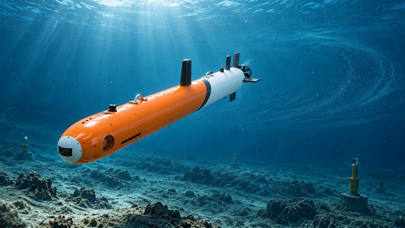
Autonomous Underwater Vehicles are powerful tools for ocean surveys, seabed mapping, offshore wind support, and deep-sea research. However, the ocean is never still. Currents can change fast, and large rotating water systems can affect the full survey area. Because of this, AUV teams need more than a good vehicle. They also need better ways to choose when and where to survey.
A mesoscale eddy forecast AUV workflow can help. By using marine AI and ocean data, teams can predict current changes, plan safer windows, and reduce mission risk before the vehicle enters the water.
PELAGIX develops AUVs, ROVs, underwater systems, sensors, and AI-based ocean forecasting tools for modern marine work. These tools help users turn deep-sea data into practical decisions for safer and smarter underwater missions.
What Are Mesoscale Eddies?
Mesoscale eddies are large rotating water movements in the ocean. They can be tens to hundreds of kilometers wide. Also, they may last for weeks or even months.
These eddies move heat, salt, nutrients, and energy through the sea. As a result, they can change water temperature, salinity, current direction, and current speed across a survey area.
For AUV teams, this matters a lot. If an eddy moves through a mission zone, the AUV may face stronger drift, higher energy use, and harder navigation. Therefore, eddy forecasts can help teams avoid poor survey windows and choose safer ones.
Why Ocean Currents Matter for AUV Surveys
AUVs are built for autonomous work, but they still operate inside a moving ocean. Strong or unstable currents can affect vehicle speed, battery use, route accuracy, and data quality.
For example, if the current pushes the AUV away from its planned line, the survey may need to be repeated. If the current is stronger than expected, the vehicle may use more power. In some cases, the team may need to shorten the mission or adjust recovery plans.
This is why an ocean current forecast for AUV operations is so useful. It helps teams understand likely water movement before deployment. Then, they can decide whether to start the mission, delay it, or change the route.
How Mesoscale Eddy Forecasts Support Safer Survey Windows
A safe survey window is not only about weather at the surface. It also depends on underwater conditions. Even when the sea surface looks workable, currents below the surface may still be hard for an AUV to handle.
Mesoscale eddy forecasts help teams see these hidden risks. First, they show where an eddy may be located. Next, they help predict how it may move. Then, they show how it may affect current speed, water layers, and survey conditions.
With this information, AUV teams can choose a time when currents are calmer and more stable. As a result, the mission can be safer, smoother, and more efficient.
Better AUV Route Planning With Marine AI
AUV route planning marine AI can combine many data sources, such as satellite data, deep-sea sensor data, past mission records, and model forecasts. Because marine conditions are complex, this type of data fusion can give teams a clearer view of the survey area.
For AUV route planning, marine AI can help teams answer key questions:
- Which route has lower current risk?
- Which time window offers better stability?
- Will the AUV have enough battery for the planned path?
- Where could drift affect data quality?
- Which recovery area is safer if conditions change?
By answering these questions early, teams can plan with more confidence. Also, they can reduce last-minute changes during field work.
Improving Data Quality During Seabed Mapping
AUVs are often used for seabed mapping and marine surveys. In these tasks, steady route control is important. If the AUV cannot keep a stable path or altitude, the data may have gaps or uneven coverage.
Ocean currents and eddies can affect the AUV’s position and motion. Therefore, AUV survey planning ocean currents should be part of the mission design.
When teams use eddy forecasts, they can adjust survey lines, speed, depth, and mission timing. For example, they may avoid surveying during a strong eddy event. Or, they may change the route to reduce cross-current effects.
This helps improve sonar coverage, image quality, and repeatability. It also makes the final survey data easier to compare and analyze.
Reducing Battery and Mission Risk
Battery life is one of the most important limits for AUV missions. If the vehicle must fight strong currents for a long time, it may use more power than planned. This can shorten the mission and raise recovery risk.
A mesoscale eddy forecast helps reduce this risk. By checking likely current patterns before launch, teams can choose a route that saves energy. They can also set safer return points and reserve more battery for unexpected events.
In addition, better current forecasts help teams avoid overloading the mission plan. Instead of trying to finish a long survey during poor conditions, they can split the task or wait for a better window.
Supporting Offshore Wind and Marine Engineering Work
Offshore wind farms, subsea cables, and marine engineering sites all need reliable underwater data. AUVs can survey cable routes, map seabed changes, inspect foundations, and support environmental studies.
However, these sites are often affected by tides, currents, and regional ocean patterns. Mesoscale eddies can add another layer of change, especially in deeper or open-water project areas.
With AI-based ocean forecasting, teams can plan AUV missions around safer current windows. This can help offshore wind and marine engineering teams reduce downtime, improve data coverage, and plan field work with fewer unknowns.
How PELAGIX Connects AUVs, Data, and Forecasting
PELAGIX focuses on advanced underwater intelligent equipment, including AUVs, ROVs, sensors, software systems, and marine AI solutions. Its AUV platforms support deep-sea exploration, marine engineering surveys, seabed mapping, underwater inspection, and scientific research.
In addition, PELAGIX works with AI ocean forecasting and mesoscale eddy prediction. This creates a stronger workflow for AUV teams: collect ocean data, analyze changing conditions, forecast future patterns, and plan the next mission with better insight.
Because of this, AUV teams can move from reactive planning to informed planning. They can use forecasts to decide when to launch, where to survey, and how to adjust the mission for safer results.
Building a Smarter Mission Planning Loop
The best AUV planning process improves over time. After each mission, teams can review the actual route, current effects, battery use, and data quality. Then, they can feed this information back into the planning process.
This creates a simple but powerful loop:
Collect data, forecast conditions, plan the route, run the mission, review results, and improve the next plan.
Over time, this helps teams understand local ocean behavior more clearly. It also makes each future mission more reliable.
Conclusion
Mesoscale eddies can have a strong effect on AUV surveys. They can change currents, increase drift, affect battery use, and reduce data quality. Therefore, AUV teams need accurate forecasts before choosing a survey window.
A mesoscale eddy forecast AUV workflow helps teams plan safer missions. An ocean current forecast for AUV operations supports better timing, route design, and recovery planning. Meanwhile, AUV route planning marine AI helps turn complex ocean data into practical field decisions.
For PELAGIX, AI ocean forecasting is an important part of smarter underwater operations. By linking AUV systems, sensors, data, and forecasts, marine teams can plan surveys with more confidence and work more safely in changing ocean conditions.


