Deep-Sea AUV Solutions: Advanced Oceanographic Mapping & Subsea Inspection
News Details
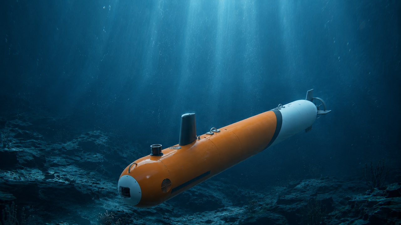
As ocean exploration moves into deeper and more extreme marine environments, traditional subsea inspection and survey methods face significant cost, safety, and operational constraints. Modern autonomous underwater vehicle (AUV) technologies are redefining how subsea survey, ocean research, and offshore energy monitoring are conducted.
Designed for deep-ocean conditions down to 6,000 meters, an industrial AUV offers the payload capacity, structural integrity, and intelligent navigation necessary to perform precision missions without continuous surface support.
Technical Specifications: Deep-Sea Exploration AUVPlatform
The reference table below highlights key parameters for a 6000m pressure-rated AUV system:
| Parameter Category | Specification & Operational Standard |
| Industry & Application | Deep-Sea Exploration & Oceanographic Research |
| Operational Region | Global deployments (China, Germany, Norway, USA, Brazil) |
| Operating Conditions | Abyssal ocean depths down to 6000m, extreme hydrostatic pressure, low temperature, zero-visibility dynamic ocean currents |
| Target Product Line | AUV-600 deep-sea exploration (6000m depth rating) |
| Primary Project Scope | Abyssal bathymetric mapping, subsea geological survey, oceanographic research documentation |
| Execution Method | Autonomous cruising via pre-planned acoustic waypoints, monocular vision-guided docking, long-range navigation, AI-assisted small-target recognition, real-time data telemetry |
| Integrated Payload | CTD sensors, acoustic multibeam bathymetry sonar, high-thrust thrusters, deep-sea waterproof packet, ocean electromagnetic coupling module |
| Engineering Requirements | 6000m pressure-rated hull, seawater-resistant electronics, survey-grade mapping accuracy |
Core Operational Advantages of the Modular Deep-Sea AUV
1. Survey-Grade Mapping at Abyssal Depths
Operating as a seabed mapping AUV, the system collects ultra-high-resolution ocean floor topography. Integrating acoustic multibeam bathymetry sonar alongside CTD sensors allows the vehicle to capture detailed bathymetric profiles and physical oceanography metrics simultaneously in zero-visibility environments.
2. Flexible Configuration via a Modular AUV Platform
Modern subsea missions require versatile payload integration. A modular AUV platform enables swift swaps of scientific and industrial sensors—such as ocean electromagnetic coupling modules or customized camera packages—without requiring structural overhauls of the 6000m pressure-rated hull.
3. Extended Endurance & Long-Range Navigation
Configured as a long-endurance AUV, the platform combines efficient propulsion systems with AI-assisted route planning. Pre-planned acoustic waypoints and real-time telemetry ensure reliable mission execution over extended operational windows in remote marine sectors.
4. Precision Offshore Inspection & Target Recognition
Beyond bathymetry, the platform functions as an offshore inspection AUV. Integrated AI vision algorithms allow automatic small-target recognition on the seabed, while monocular vision-guided systems facilitate precise subsea docking and data recovery.
Typical Mission Capabilities
-
Hydrographic Surveying: High-density bathymetric data collection for nautical charting, pipeline route surveys, and seabed hazard identification.
-
Oceanographic Research: Physical oceanography data collection (salinity, temperature, depth profiles) across deep abyssal plains.
-
Subsea Geological Surveying: In-situ mapping of polymetallic nodules, hydrothermal vents, and tectonic features down to 6000m water depths.
-
Subsea Asset Inspection: Autonomous monitoring of underwater cables, energy infrastructure, and deep-water foundations.
Summary
Deploying a high-performance hydrographic survey AUV reduces total operational footprint, vessel day-rates, and offshore exposure risks. By combining a 6000m depth rating with modular payload integration and advanced AI autonomy, these systems provide a robust framework for global oceanographic research and commercial subsea surveys.
For detailed platform specifications, payload options, and partnership inquiries, visit Pelagix.


